New Study Reveals State-by-State Safety Benchmarks: Altitude by Geotab Presents Insights at TRB 2025
Learn about Geotab ITS’ rebrand to Altitude by Geotab and view our Digital Privacy white paper.

The Federal Highway Administration’s (FWHA) Congestion Relief Program is extending $50 million in funds to eligible organizations, helping them develop advanced new strategies to mitigate the challenges and risks of heavy traffic congestion in major cities. The discretionary grant has a submission deadline of April 22, 2024, with a total funding ceiling of $150 million.
To qualify for a share of the Congestion Relief Program funds, organizations must belong to a metropolitan, city or state planning entity and be working on a dedicated transportation project. The project must be focused on an urban region housing a population in excess of one million people. According to the grant’s webpage, areas that regularly experience the heaviest traffic will be given precedence over less crowded ones.
Once an organization has determined their eligibility status, applied for funding and received money, they must be strategic with how they use it to improve their traffic flows. A traffic improvement project or connected system of transportation plans needs to include strategizing, designing, execution and building phases. Activities that will qualify are:
It’s important to note that any potential traffic solutions also need to account for potentially negative financial impacts to lower-income motorists. For example, if a new toll road or policy is planned to help alleviate heavy traffic in a region, methods of assistance may first need to be considered so that drivers earning less than the average aren’t harshly affected by it.
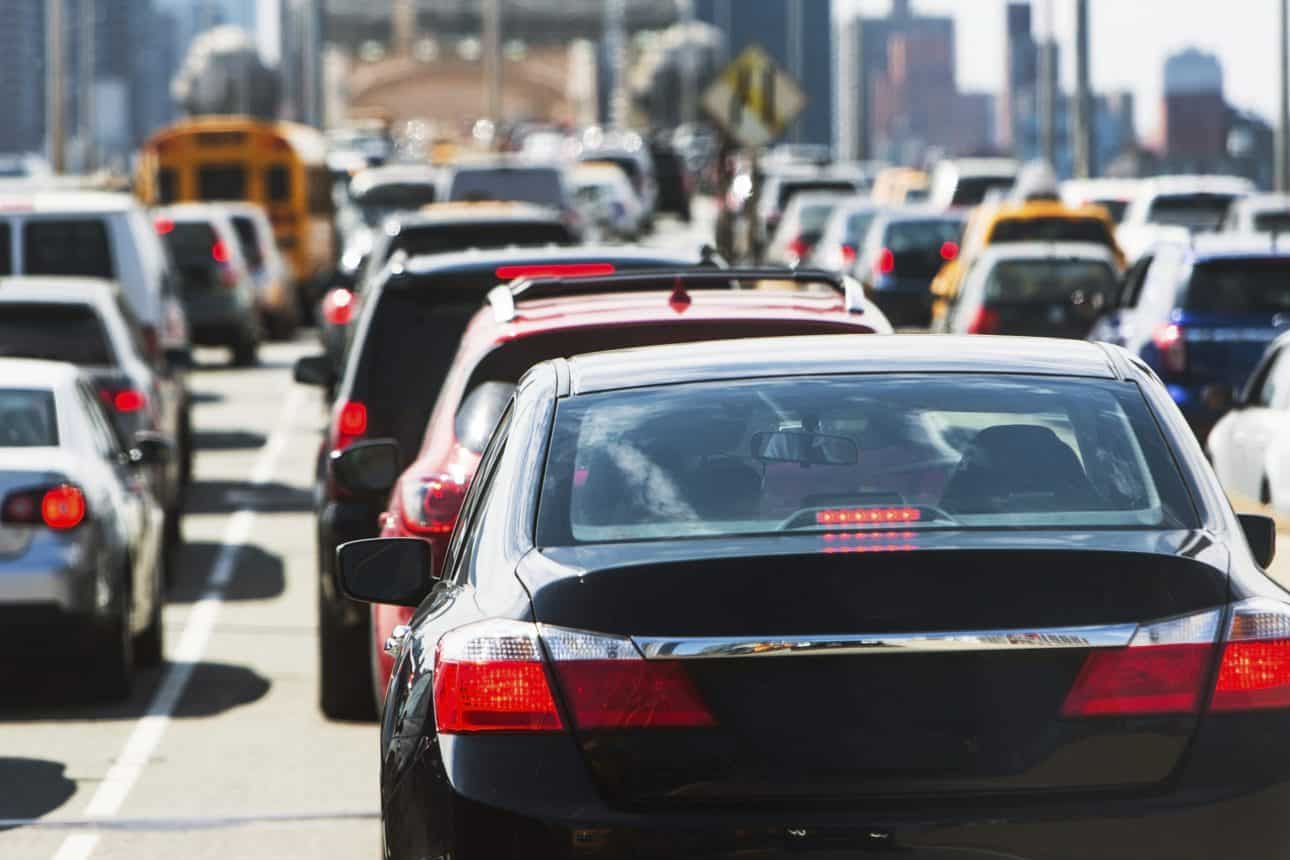
Funds are being distributed under the Congestion Relief Program because of the many detrimental effects that heavy traffic congestion brings to a metropolitan area. A few of these adverse effects include more dangerous driving conditions, higher air pollution, delayed arrivals, increased stress on drivers, and decreased vehicle longevity. As urban areas continue to sprawl and more vehicles are added to our streets, it’s imperative to maintain a proactive approach to solving traffic problems. By studying rich traffic data specific to your municipality or state, you can get ahead of these challenges and develop new transportation plans now that can pay dividends later.
Altitude by Geotab offers real-world, actionable connected vehicle data. With our Altitude platform, we offer a bevy of robust insights that help planners and modelers understand aggregate traffic flows and develop smarter strategies. Altitude’s applications for traffic management include:
Our data can also help you pinpoint key infrastructure challenges that could be contributing to traffic clogging within your jurisdiction. Based on what the insights are indicating, your agency can ideate creative new policies and construction projects to help loosen the traffic flow, then measure the results. Coupling ingenuity with modern transportation technologies will empower your urban region to make the most of its awarded program funds, guiding your communities’ traffic movement toward a safer and more efficient standard.
Advanced insights should form the bedrock of your organization’s traffic congestion relief plan. With Altitude, you can start with a comprehensive foundation of transportation insights and contextualized information. Backing up hypotheses about why and how vehicles are moving throughout your city or state with data helps you move new initiatives forward with greater confidence that they’ll work. Make sure to apply for your Congestion Relief Program funds before this year’s deadline and consider our solution‘s role in helping you deploy a successful traffic strategy today.
Speak with one of our experts to learn more about how Altitude’s insights can help your organization solve the complex challenges associated with heavy urban traffic.
Learn about Geotab ITS’ rebrand to Altitude by Geotab and view our Digital Privacy white paper.
Discover how factors like city size and temperature influence the idling and stopping patterns of delivery vehicles. Altitude by Geotab’s recent blog post dives into the data from six major cities, revealing interesting findings about door-to-door vehicle tendencies.